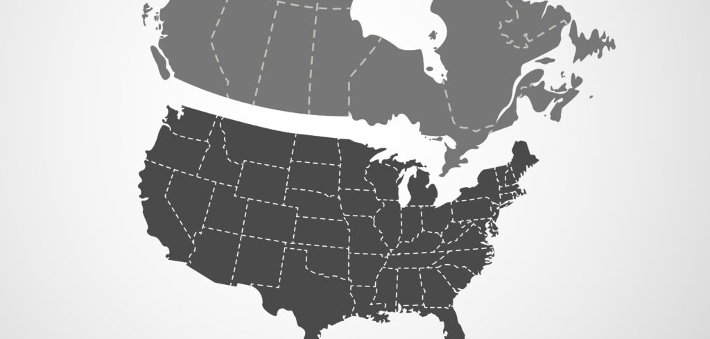
A high-definition (HD) map database owned by Ushr has been expanded for General Motors (GM) and now covers more than 400,000 miles of roads in the USA and Canada, enabling GM’s to double the road network for its true hands-free driver assistance system Super Cruise.
To enable the expansion of its map database, Ushr used accurate lidar data and its own algorithms to map a wide range of differing primary roads. These included undivided high-speed roads – such as state highways – which separate the direction of travel with painted lines. Hands-free driving on undivided roads requires highly precise vehicle localization, aided by Ushr’s HD map accuracy.
“Primary roads are far more complex than highways,” said Dr David Johnson, chief scientist, Ushr. “They contain a higher diversity of road objects, density of crossings, pavement types and lane types.”
“When ADAS is done right, it’s safe for everyone on the road,” said Chris Thibodeau, chief executive officer of Ushr. “For many drivers, this is their introduction to hands-free driving and it’s important to present it to the public in a deliberate way. The industry needs to get it right.”


