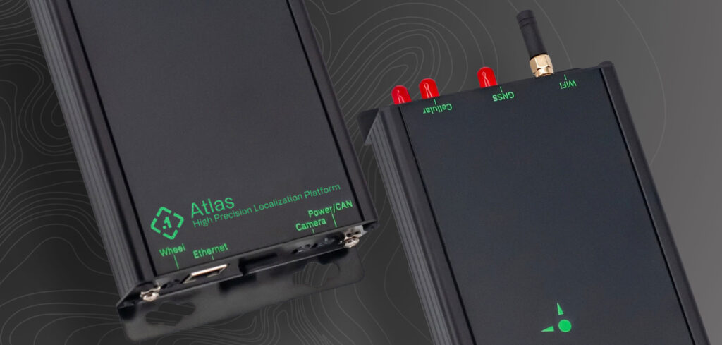
Designed for developers and manufacturers of autonomous vehicles, robots, mapping and photogrammetry applications, Point One Navigation has introduced the Atlas Inertial Navigation System (INS)– an advanced RTK network, positioning hardware and engine, all in one.
Legacy INS solutions require extensive post-processing to achieve the high levels of precision required for accurate mapping and observability applications. Until now, these post-processing workflows were out of reach for many, coming at a high price point, as well as being time- and labor-intensive. Atlas, according to Point One, provides ground-truth-level accuracy in real time, simplifying engineering workflows, reducing costs and enhancing operational efficiency.
Atlas is designed for deployment in large fleets. Through a tight integration of highly accurate, low-cost GNSS receiver and IMU with the Polaris RTK corrections network and Sensor Fusion algorithms, businesses should no longer have to pick and choose which vehicles are equipped with the high-accuracy INS.
The company says that Atlas features a smart, easy-to-use user interface, on-device data storage, ethernet and wi-fi. Field engineers can easily configure and operate Atlas using smartphones, tablets and in-car displays.
“We envision a future where businesses, researchers and automotive companies can harness the power of centimeter-level real-time accuracy without the complexities and cost associated with post-processing. Atlas is not just a product; it’s a revolution that will redefine what’s possible in the world of precision location,” said Aaron Nathan, Point One’s CEO and co-founder.


